
Craig Hill run at Aberfeldy
The Craig Hill run at Aberfeldy route is a trail and forest road run within Perthshire, Kinross & Angus. The loop covers a distance of 21.59 Kms ( 13.42 miles )
and has an elevation gain of 622 m ( 2041 feet )
.
Length
21.6 Kms
Elevation
622 m
Max elevation
493 m
Difficulty
***
Rating
****
Main road
0 Kms
Country road
2.7 Kms
Dirt road
13.1 Kms
Dirt path
0 Kms
Trail
5.8 Kms
;)
Description
We have found this one hard to classify as we had one of those crappy weather days that Scotland can serve up at times. This made getting the feel for the open section on the high moors difficult. However, lets describe the route.
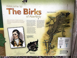
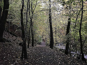
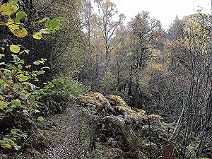
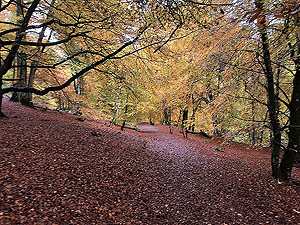
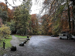
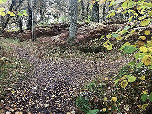
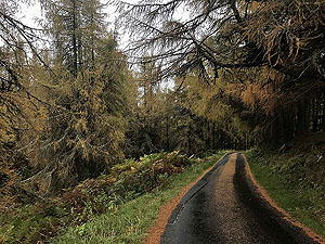
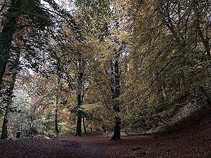
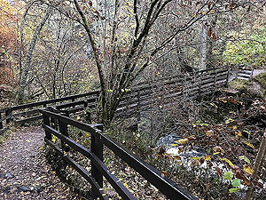
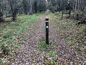
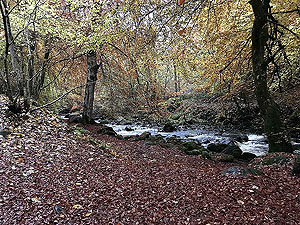
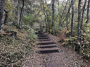
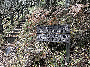
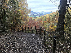
On a wet autumn morning we left The Birks car park and headed over the wee bridge and along the east side of the burn heading south. Wow, what a place this is in autumn where the colours of the trees are spectacular. Nice running though there are many steep sections with slippy steps but the overall feeling of the place is bliss. We started early on this route and were lucky enough to have this part of the route to ourselves. The area can get busy with families and dog walkers later in the mornings so best to try for early if you can make it.
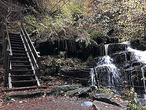
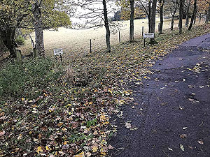
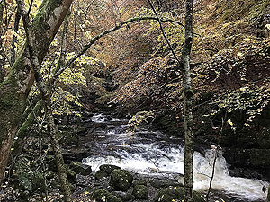
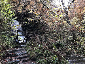
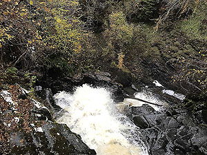
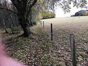
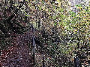
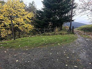
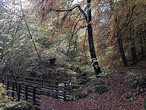
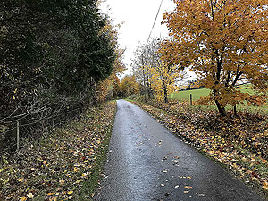
This section in the woods is probably the steepest part of the route and you are soon rewarded with the views on the Falls of Moness and indeed a small bridge right over the top of them. A short trail section takes you from the falls onto a small tarred road before hitting a well signposted detour to take you round the farm.
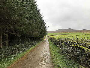
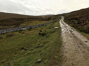
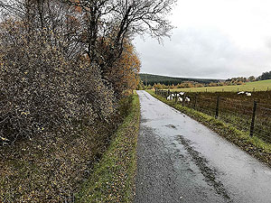
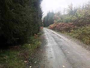
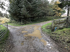
After the farm you are onto hard core road till about
9.4 Kms
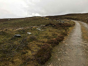
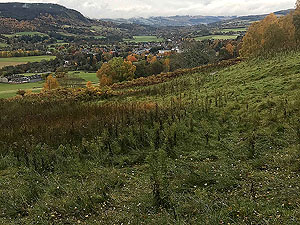
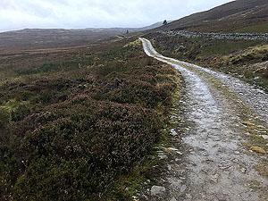
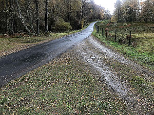
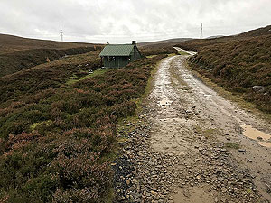
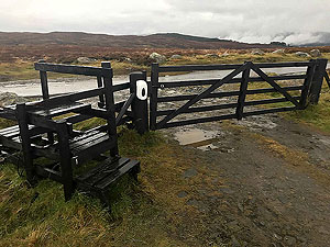
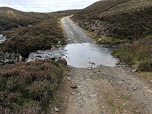
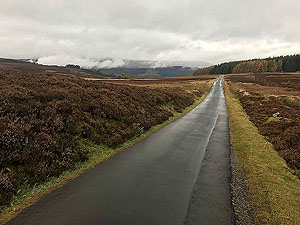
and that is basically all uphill. On this section you are out onthe open high moors which are used for grouse shooting. We saw hundreds of the birds so must be easy shooting for the mighty hunters. With the wind and the rain this wasn't the greatest of sections for us but it does look like it would be wonderful in the right weather. This section ends beside a small reservoir and the start of a nice downhill section on a tarred road.
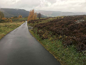
This downhill is rewarding with nice views and seems very peaceful. You soon hit the turning point to head back onto forest style roads and back towards Aberfeldy. This is really a mixed bag of running with trail and good quality forest road. At
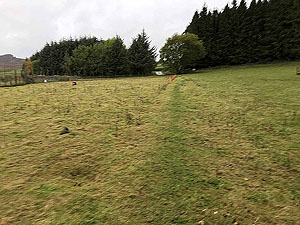
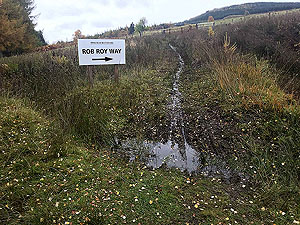
12.1 Kms
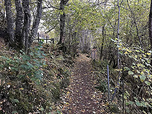
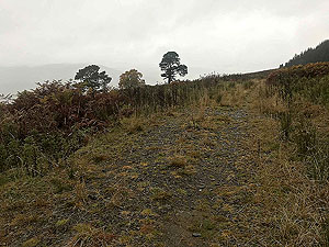
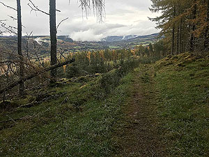
an easy to miss path heads off to the left. This is marked for the Rob Roy way but keep watching for this as it is easy to miss. This also starts a section on slippy trail. Our shoes were trail/road style and in this section we really would have liked full on trail shoes as we were slipping all over the place. Strangely enough although it was muddy and slippy it wasn't too wet.
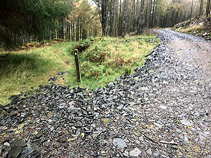
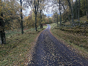
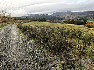
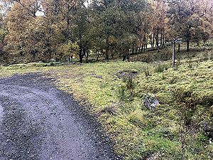
The trail section ends and you are back onto forest roads of varying quality. Again keep focus the route as one of the right turns is easy to miss as the road seems overgrown. You soon arrive back at the small tarred road for a short section before heading back into the woods towards the Falls of Moness. This time the route follows the west trail and it is all downhill back to the car park.
Details last updated in October 2020.
Route images
Directions
×